
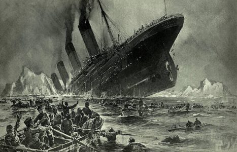
My Kaggle Titanic competition submission
Almost everyone who starts his journey with data science starts form Kaggle’s competition “Titanic”. This is a “Hello World” for ML model building, and so did I. For me that was some kind of experimental station… especially for training data preparation…. Below you can find my code. You can also …
